
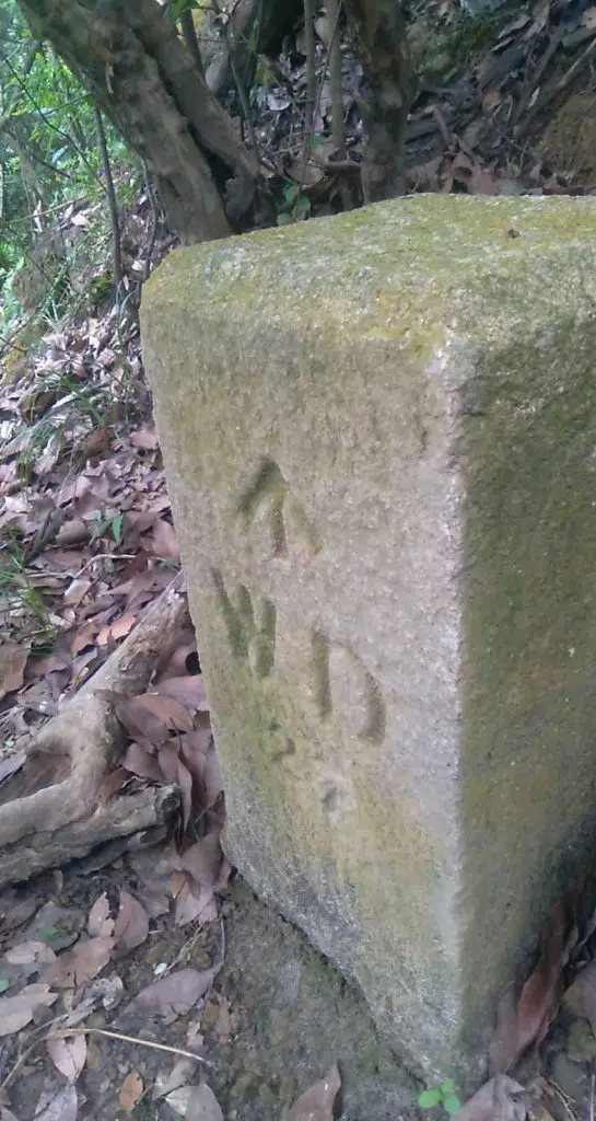
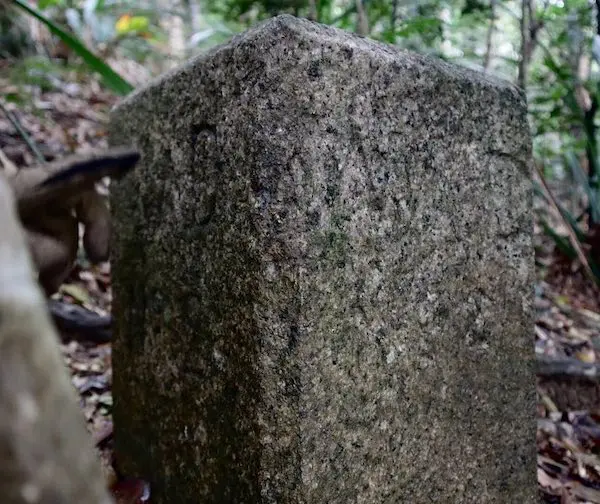
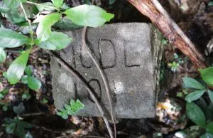
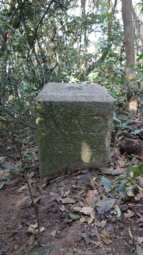
21 Aug 2021: 我們從松林/西高現發現咗22粒1903設置軍部界石(記錄有30塊)
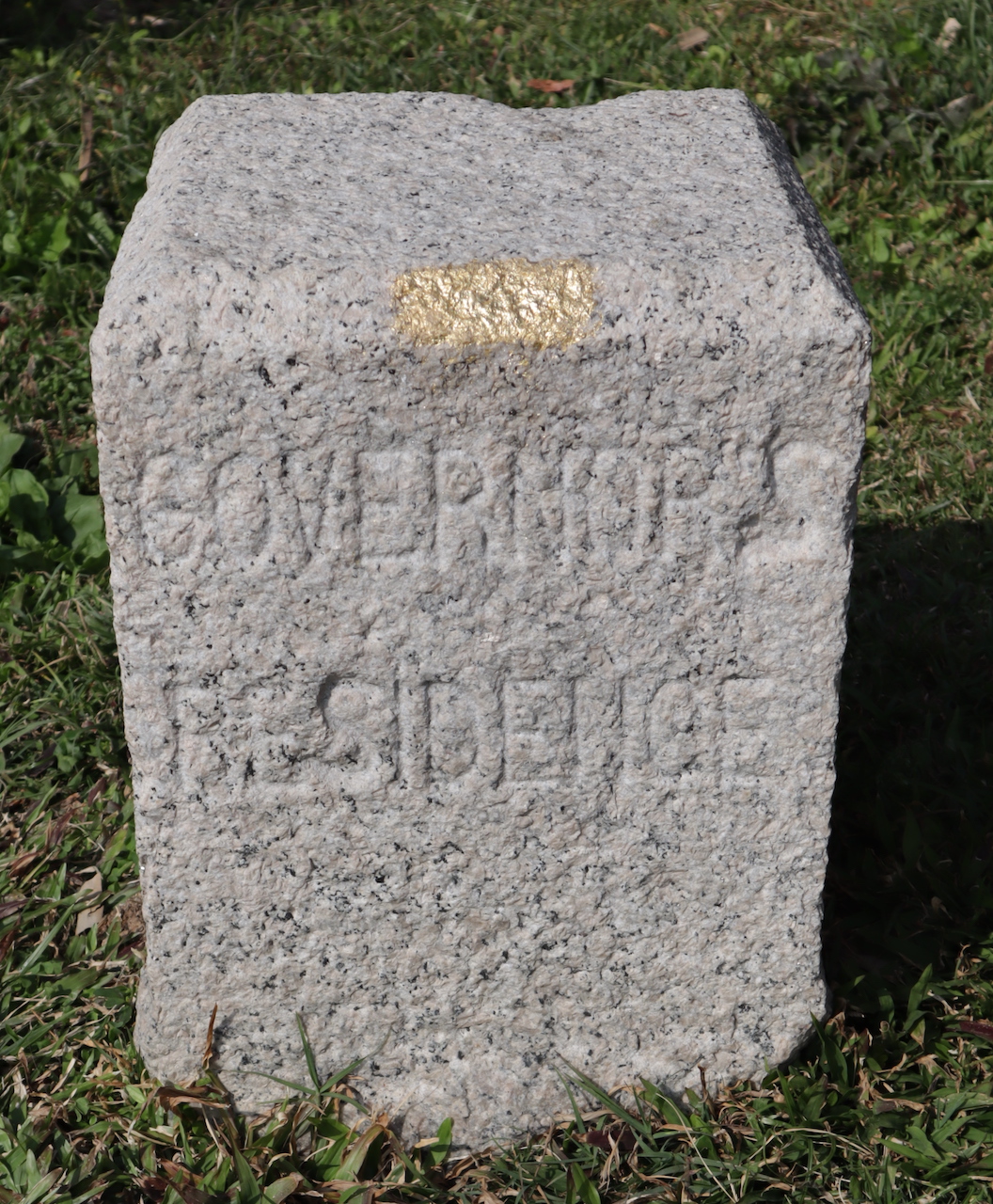
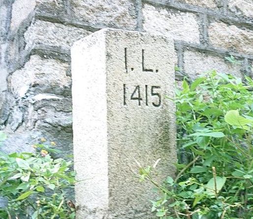
** 請保持界石原來狀態,勿過份清理!**
以下說明,我們如何調查及搜索松林/西高山軍部界石群
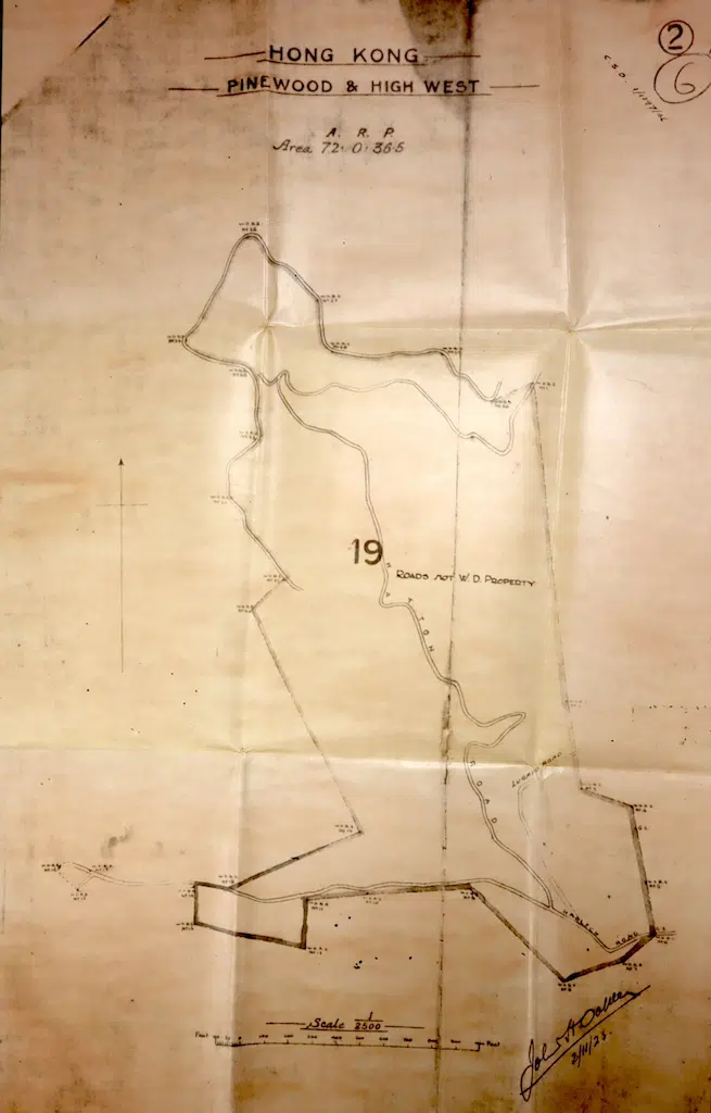
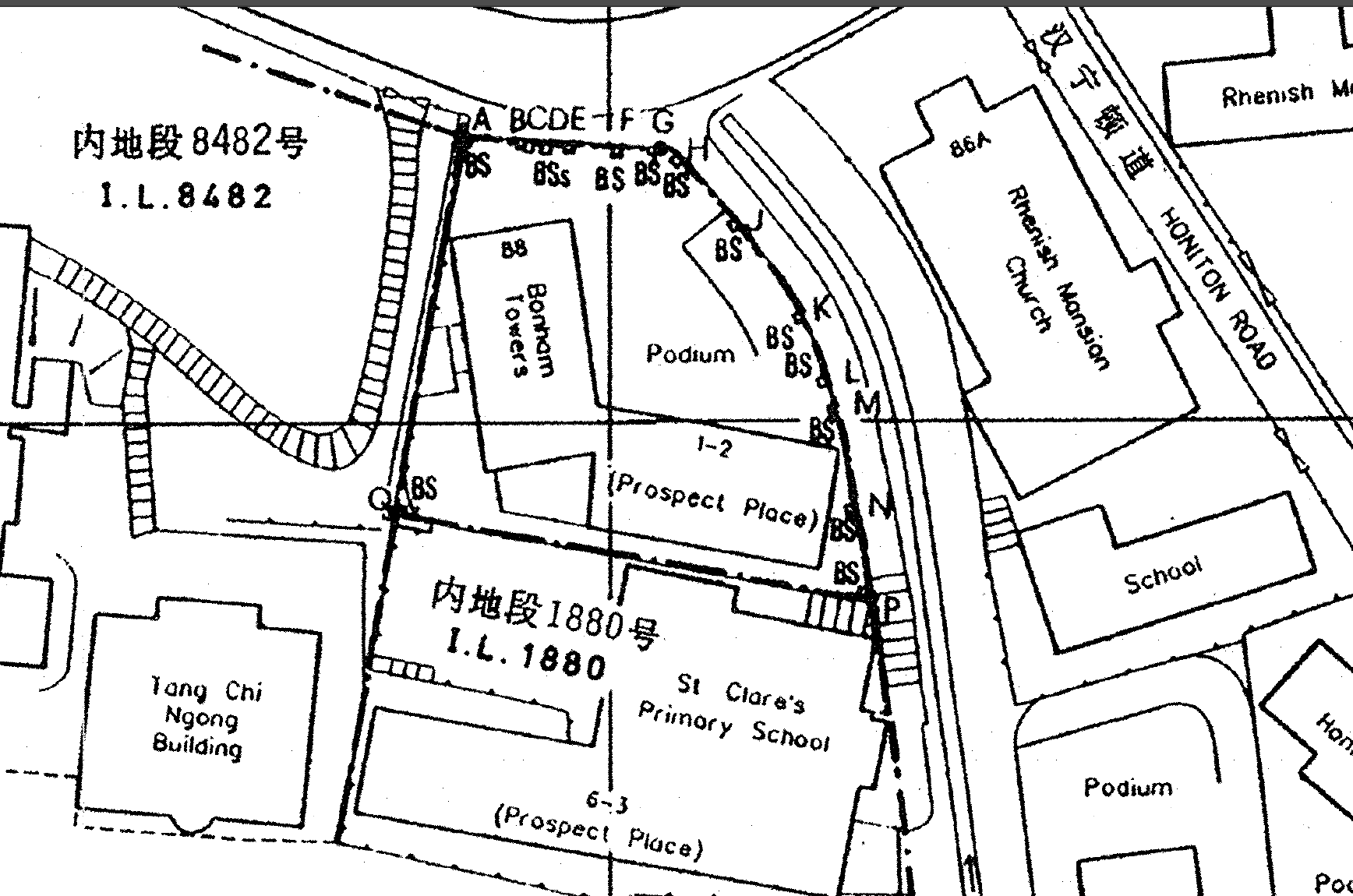
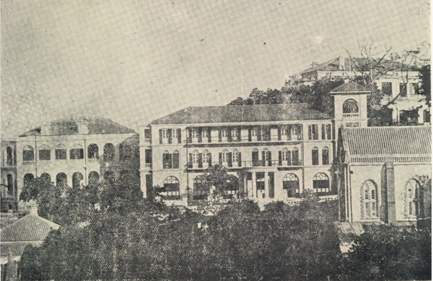
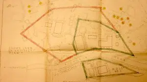
– 我們從1913年地圖及1927軍部界線圖,搵到松林/西高山軍部界石分佈區域;
– 根據地圖,搵到大概區域位置;
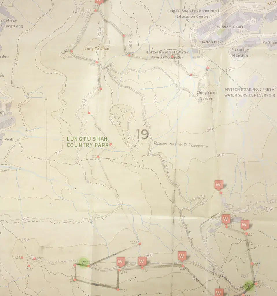
– 我們把已知界石界線加在1963 航空圖 及 我們已知界石位置地圖進利比對及配對;
– 把配對好的界石位置記錄及轉換成座標;
– 到各界石位置進行實地勘探,確認界石是否留在原地;
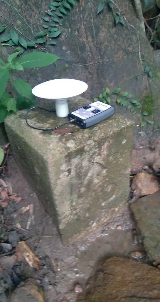
– 如果發現界石,以RTK GPS 記錄發現界石座標;
– 把發現到界石的座標比對1927年界石圖,以確定界石號碼是否正確;
– 把發現到界石的座標及照片資料輸入我們的GIS系統記錄;
因爲我們會比對界石圖及地圖,以確認界石,所以就算發現界石的刻字不清晰,我們都可以確定界石號碼及位置是否合理。
** Please keep the boundary stone as original status as possible **
How we discover and identify Pinewood/Highwest WDBS
– We found the 1927 Pinewood/Highwest boundary Plan
– According to the site plan then we located where is the lot.
– Then we overlay the map and plot the boundary on the 1963 Aerial Photos and known BS MAP;
– Tranlate the coordinate of the boundary stone;
– Site visit according to the given coordinate and check if the boundary stone still in poisition;
– Use RTK GPS to record the coordinate of discoverd boundary stone ;
– check the discovered boundary stone coordinate and compare to 1927 Pinewood/ Highwest boundary Plan;
– input the discovered boundary stone coordinate and infomation into our GIS system
According to the information on the map and the coordinate of the boundary stones. We can identify war department boundary stone even the inscription is not clear.